

What The MacArthur Lake Project Changes
MacArthur Lake Project Funding And Location
The MacArthur Lake Project is a $40 million stormwater capture initiative at MacArthur Park in Los Angeles. According to an April 22, 2026 announcement from Councilmember Eunisses Hernandez and city departments, the plan would convert MacArthur Park’s lake into infrastructure that captures, treats and reuses local stormwater through Measure W funding, a voter-approved Los Angeles County program from 2018 that generates $300 million annually for stormwater projects Council District 1 announcement.
For nearby residents, park users, transit riders and Westlake-area businesses, the proposal matters because it places water infrastructure inside a heavily used public park rather than on a remote utility site. The official announcement describes a project that is both a water-quality investment and a park-improvement plan. That dual purpose requires careful public review because the lake is not only an engineered water feature; it is part of a civic space used for walking, sitting, gathering and crossing between neighborhood destinations.
The MacArthur Lake Project is designed to capture and treat about 244 acre-feet of stormwater each year, according to the city announcement. The city said the system is intended to reduce contaminants such as sediment and metals before water reaches the Ballona Creek Watershed. The announcement also identifies park-facing changes, including a cascading water feature, shaded seating, new trees, native landscaping, improved walking paths, a pedestrian bridge and educational signage about stormwater capture.
Why Stormwater Capture Is Being Placed In A Park
Stormwater systems are often discussed as pipes, basins and treatment equipment. In this case, the city’s description places the lake at the center of a neighborhood-level public works project. That means the benefits and tradeoffs are not limited to water agencies. The project affects how residents may use park space, how signs explain water reuse, and how walking routes and shaded areas are planned around the lake.
The official record supports a cautious reading of the project. The stated goals are clear: capture stormwater, treat it, reuse it locally and reduce pollutants. The exact day-to-day construction effects, temporary access changes and long-term maintenance practices are not fully detailed in the two official records cited for this report. Residents seeking practical details should rely on future city notices, public meeting materials and project updates from the departments responsible for design and delivery.
Water Quality Goals In The MacArthur Lake Project
Ballona Creek Watershed Compliance
The state environmental record for the MacArthur Lake Project identifies the Los Angeles Department of Public Works Bureau of Sanitation and Environment, the Bureau of Engineering, and the Department of Recreation and Parks as project partners. The same record states that the project is intended to help Los Angeles meet water quality standards and National Pollutant Discharge Elimination System permit requirements for the Ballona Creek Watershed CEQA project record.
That regulatory context is significant for community members because it shows why the project is being framed as more than a park beautification effort. The stated purpose is tied to stormwater treatment and compliance with water-quality rules. In practical terms, the city’s public materials indicate that local runoff would be managed before it contributes contaminants to downstream waterways within the watershed.
The official announcement names sediment and metals among the harmful contaminants the system is intended to reduce. It does not, in the material reviewed here, provide neighborhood-level pollutant readings or post-construction performance data because the project has not yet been completed. Any future claim about measured water-quality improvement should be checked against monitoring reports or agency updates after the system is operating.
Stormwater Reuse And Public Benefit
The MacArthur Lake Project also raises a public-health and community-wellness question: how can water infrastructure support safer, more usable neighborhood open space? The city’s announcement links the stormwater system with shaded seating, trees, native landscaping and walking-path improvements. Those features may support comfort and access for park users, but the official sources reviewed here do not provide health-outcome measurements tied to the project.
A cautious interpretation is that the planned amenities could improve the physical setting around the lake while the capture system addresses stormwater pollution. For families, older adults and people using the park for daily movement, walking-path design and shade can affect whether the space is usable during different times of day. For community groups, the educational signage may create a way to connect park use with public understanding of local water systems.
Readers following local wellness and civic infrastructure in the same network can also review related community updates at Saint Joseph Detroit, where discussions of public services, neighborhood conditions, and health programs often intersect.
Park Improvements And Community Review Points
Amenities Listed By The City
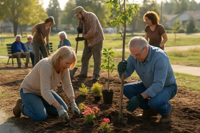
The official announcement lists several visible park changes planned alongside the stormwater work. These improvements are important because they are the parts residents are most likely to experience directly once the project is built.
- A cascading water feature connected to the lake plan.
- Shaded seating areas for park users.
- New trees and native landscaping.
- Improved walking paths around the lake area.
- A pedestrian bridge.
- Educational signage explaining stormwater capture.
Each item should be tracked through future design documents rather than treated as a finished condition. Public amenities can change as engineering, budget and site constraints are resolved. The city announcement establishes the intended scope, while later documents should clarify placement, access routes, construction phasing and maintenance responsibilities.
Questions Residents Can Ask Next
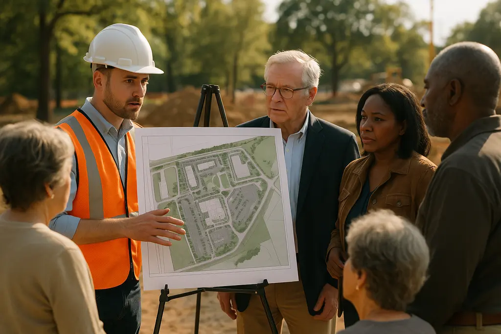
Community engagement around the MacArthur Lake Project should focus on verifiable civic details. Residents can ask which portions of the park may be affected during construction, how walking access will be maintained, what tree and native-planting plans will be used, and how the city will evaluate whether the stormwater system performs as planned. Those questions do not require speculation; they can be answered through city project documents, department briefings and environmental records.
Local businesses and transit users may also want to track whether construction staging affects sidewalks, crossings or access near the park. The official sources cited here do not provide a full staging plan. Until such details are released by the city, the most accurate position is that the project has an announced scope and regulatory purpose, while some site-level implementation details remain to be verified through future public materials.
For neighborhood organizations, the educational-signage component offers a concrete engagement point. Groups can ask how signage will be written, whether materials will be understandable for multilingual park users, and how the city will explain stormwater capture without overstating benefits that have not yet been measured. Because the park serves a broad public, engagement should be accessible, specific and tied to posted documents.
MacArthur Lake Stormwater Decisions Residents Can Track
Documents Worth Watching
The most useful next step for residents is to follow official records as the project moves from announcement toward delivery. The Council District 1 announcement provides the public-facing description and funding context. The CEQA project record provides the environmental and agency framework. Together, those sources confirm the $40 million project amount, Measure W funding, the 244 acre-feet annual capture-and-treatment target, the Ballona Creek Watershed compliance purpose and the city departments connected to the work.
What they do not fully answer, based on the material reviewed for this report, is just as important: how construction will be staged, how temporary park access will be managed, what final design drawings will show, how maintenance will be funded after installation and what public reports will show after the system begins operating. Those are appropriate questions for council offices, the Bureau of Sanitation and Environment, the Bureau of Engineering, and Recreation and Parks as the project advances.
The MacArthur Lake Project is therefore best understood as a civic infrastructure proposal with both environmental and neighborhood-use implications. Its stated public value rests on stormwater capture, water-quality compliance and park improvements. Its community value will depend on how clearly the city communicates construction effects, how well the finished space functions for daily users, and whether future reporting shows the system meeting the goals described in official records.