


Groton Cross Town Greenway Grant Details
What The June 2026 Award Covers
The Groton Cross Town Greenway is the focus of a new transportation-related grant in Groton, Connecticut. According to Patch, Groton received a $141,791 award in June 2026 through the Connecticut Department of Transportation’s Community Connectivity Grant Program, with the money identified for wayfinding signage for the route Patch reported. The affected users are residents and visitors who walk, bike, or move between parks, streets, and community destinations along the greenway corridor. The next civic step, based on the public record available here, is for residents to follow future town or transportation notices that identify where signs will be placed and how the work will be scheduled.
The grant is narrow in scope, and that matters for public understanding. The available record does not describe a new park opening, a full trail buildout, or a construction timetable. It identifies a state transportation grant for wayfinding signage. In practical terms, the funded work concerns how people understand and use a route that already has a public planning identity. For park users, signs can help distinguish a formal greenway path from an informal shortcut, a private access point, or a local street segment that happens to sit near a park boundary.
Because the award comes through a transportation program, the project sits at the point where parks, mobility, and local street access meet. That does not mean every detail of the route is resolved in the sources cited for this report. It does mean the state-supported work is aimed at helping people identify and follow the greenway system. For a local park feature, that distinction is useful: the improvement is not only about a single park amenity, but about the connections between public spaces.
Why Groton Cross Town Greenway Signage Matters
For the Groton Cross Town Greenway, wayfinding is a basic public-access issue. A greenway that crosses local streets or connects multiple public areas can be difficult to use if people cannot tell where the route continues. The cited grant record supports one clear point: Groton has state funding for signs, not merely a concept for signs. That gives the project a defined funding source and a stated purpose.
Signage can also reduce uncertainty for first-time users. A resident may know a nearby park, but not know whether that park links safely or legally to another open space, civic destination, or neighborhood route. The public grant information does not specify sign designs, installation sites, or a completion date. Those details should be treated as pending until the town or another official body releases them. For now, the supported fact is the award amount, the grant program, the recipient, and the stated use for greenway wayfinding.
State Greenway Status And Local Connections
How The Groton Cross Town Greenway Fits The Approved Route
The Groton Cross Town Greenway also has a state-level designation history. Explore More Groton reported that in April 2022, the Connecticut Greenways Council approved the establishment of the route, with the greenway described as facilitating connections between the Town of Groton and the City of Groton Explore More Groton reported. That approval is relevant because it places the 2026 signage grant within a prior state-recognized greenway action rather than a stand-alone local sign project.
The distinction between designation and implementation is central to this story. A state greenway designation identifies a route or corridor for public recognition and planning purposes, as reflected in the 2022 report. The 2026 grant described by Patch identifies money for a specific improvement: wayfinding signage. Taken together, the public record shows a sequence: recognition of the greenway in 2022, followed by a later grant aimed at helping users identify the route in the field.
For residents, the Town-City connection is not a minor administrative point. Groton includes separate municipal identities, and a route that links public spaces across those boundaries can require consistent information for users. The sources cited here do not provide a complete map, a final sign plan, or a full list of connected parks. Because those details are not established in the cited record, they should not be assumed. The verified point is narrower: the state council approved the greenway, and the later grant is directed to signage for it.
What The Record Does Not Yet Show
The available sources leave several questions open. They do not state the number of signs to be installed, the exact locations, the construction or installation vendor, or the date when residents should expect to see completed signage. They also do not identify whether any street crossings, surface changes, or trail improvements will be completed as part of the same award. Those absences are not evidence that such work will or will not occur; they simply mean the cited record does not support those claims.
This cautious reading is useful for civic coverage because grant announcements can be mistaken for completed improvements. In this case, the available information supports a more limited statement: Groton has received a state Community Connectivity grant for wayfinding signage connected to a state-designated greenway. Any broader claims about construction, safety outcomes, usage increases, or economic effects would require separate official documentation.
Park Access, Wayfinding, And Civic Review
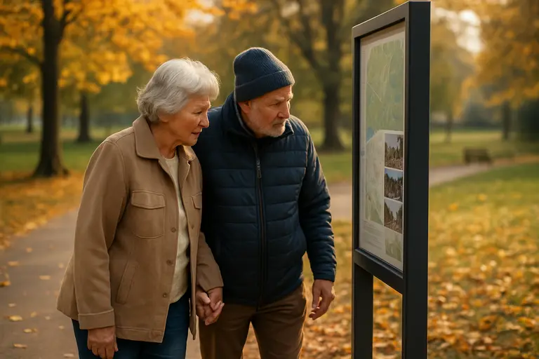
Resident Use Depends On Clear Public Information
Park connectivity projects often succeed or fail in the details that users encounter on foot or by bicycle: where to turn, where a public route continues, and whether a path connects to a street, park entrance, or civic destination. For the Groton Cross Town Greenway, the state-supported signage work is therefore a public information project as much as a park feature. The funding does not create value only through the physical signposts; it creates value if residents can use those signs to understand the greenway’s public route.
That makes public communication the next piece to watch. Residents may need a map, installation notices, or town updates explaining what each sign type means. The cited sources do not say how Groton will handle those communications. Until a town department or transportation agency releases more specific material, the most accurate position is that the award has been reported and the purpose is wayfinding.
For readers comparing local civic programs across this site’s wider network, a related resource is the Houston forum site. This platform focuses on public-facing civic developments that are part of a broader network, emphasizing how residents interact with local services, public spaces, and government actions.
Related Local Planning Records
The research notes supplied for this report also reference broader Groton planning activity, including a Complete Streets and Trails Master Plan effort, community feedback on walking and bicycling safety, and capital planning references to greenway signage. Those items are not linked here because the required source list for this report limits external citations to the approved high-authority sources above. They are mentioned only as context from the provided research notes, not as independent findings beyond the cited record.
ITPR has separately tracked related Groton planning coverage through its report on Climate Ready Groton. That topic is separate from the wayfinding grant, but it sits in the same local-government category of plans, grants, and resident-facing implementation steps. Readers should treat each plan or grant on its own terms because funding source, project scope, and public process can differ across town initiatives.
Cross Town Greenway Signage Next Steps
What Residents Can Watch For
The most useful next information for the public will be specific and local: sign locations, installation timing, route maps, and any public meeting or department update tied to the funded work. Based on the cited records, the Groton Cross Town Greenway has both a 2022 state designation and a 2026 state transportation grant for wayfinding signage. What remains to be documented publicly is how that funding will appear on the ground.
Residents who use Groton parks, walk between neighborhoods, or bike through local street connections should look for official town materials that identify where the route is marked. Until those materials are released, the safest reading is that the grant advances the information system for the greenway, not that it completes every park or transportation connection associated with the corridor. The project is best understood as a funded step in making a recognized route easier to follow.
For park users, that step is still meaningful. A greenway can be designated on paper, but people need visible cues to use it with confidence. The June 2026 grant gives Groton a defined funding source for those cues. The public record now supports a clear civic question for the next phase: how will the town turn the signage award into clear, durable, and understandable directions along the Cross Town route?